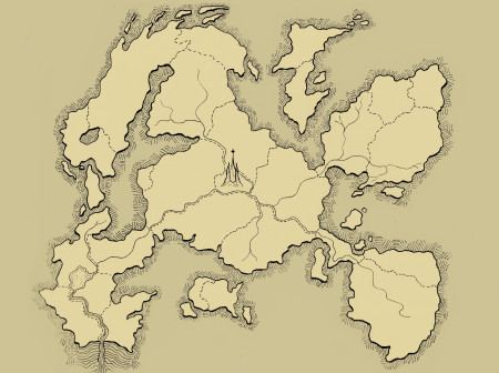
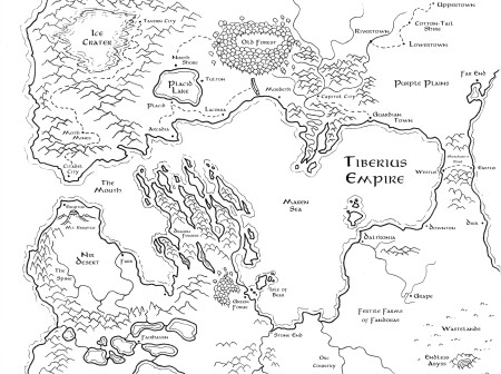
A detailed black and white map of the Tiberius Empire. There is a central sea called the Maren Sea. To the north are the Capitol City, Old Forest, Placid Lake, and Ice Crater. In the middle are the Dragon Fingers going into the sea. To the south is Stone End, Daltronia, and the Nir Desert.

Tiberius Empire Map

Season 3 of Quorom of Bones began with the adventurers sneaking out of hell (about 6 months early from what I had planned) to be thrust back into the original overland area. However, they were transported 30 years into the future to find they were heros of legend with status built of them. 
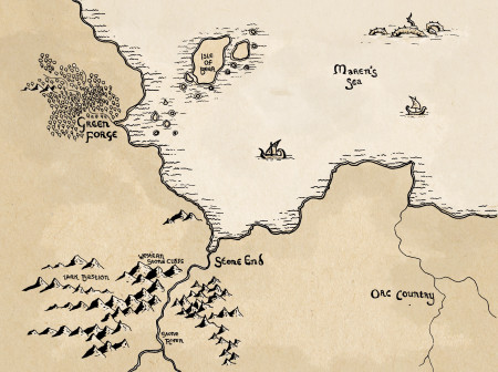
This map was built as a collaboration with the players. I took the original map for Stone End and then zoomed out for…
A tan map with hatching marks on the borders. It implies countries surrounding by rock walls. There are no detailed texts on it unlike other maps.

The Nether Map

Season 2 of our Quorum of Bones campaign started with the players thrown into hell, which I called the Nether. The center of the map held the perpendicularity, which was a Neverending Story style tower that had a portal between realms. It was controlled by a group of not very nice lawful good angels. The surrounding lands were all controlled by various devil lords, which I only revealed as the players explored the lands.
A map done in Tolkein style. Stone End is the main port, with the Stone River leading into it. There is the Maren's Sea taking up much of the map. To the west in the mountains is Lark Bastion. Green Forge is to the west with forests around it. To the east is Orc Country which is flat and plains.

Stone End Map

My first time DMing of course started with a Tolkein-style map that I drew. This really helped spur my imagination and possibilities for the narrative as I embarked on this DMing journey.